Rufen Sie uns an
+ 43720775120
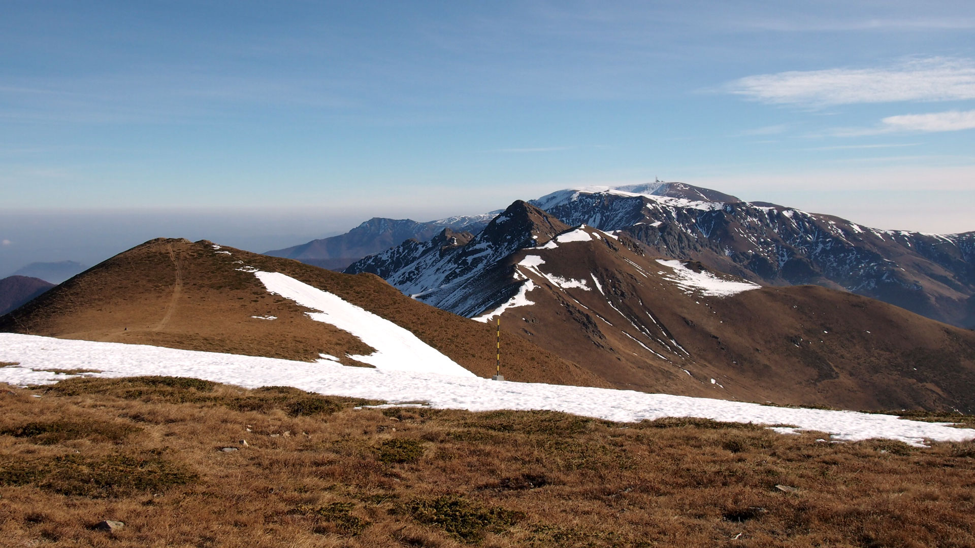
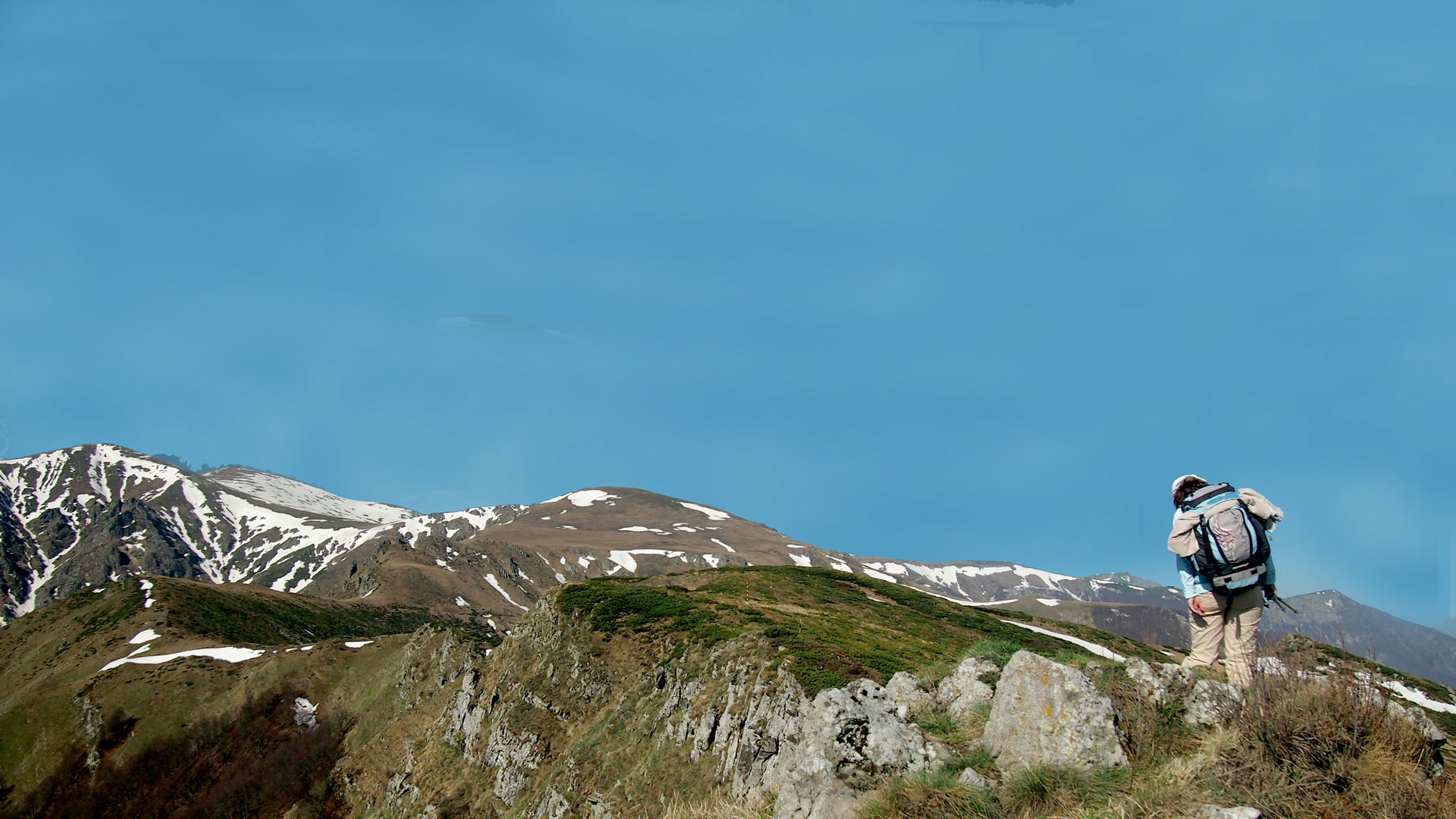
Der Europäische Fernwanderweg E3
Der Europäische Wanderweg „Kom-Emine“ ist unter den Initialen E-3 bekannt. Sie verläuft entlang des Kamms des Stara-Planina-Gebirges (Balkangebirge), der längsten Bergkette Bulgariens. Sie erstreckt sich vom Belogradchik-Pass bis zum Kap Emine an der Schwarzmeerküste Die Strecke ist fast 700 km lang und eignet sich zum Wandern und Skifahren.
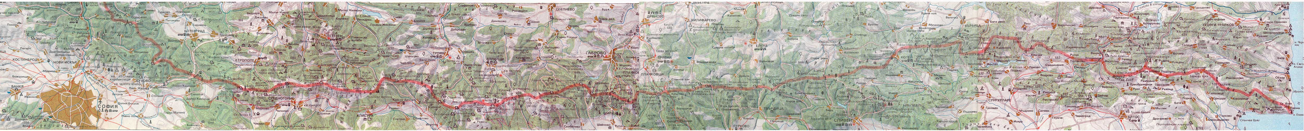
Karte der Strecke
Das Stara-Planina-Gebirge bildet ein riesiges Massiv von Bergketten, eine Reihe von Zeichen und Besonderheiten sorgen für seine kreuzweise Aufteilung in drei große Teile - West, Zentral und Ost. Das Stara-Planina-Gebirge nimmt eine Fläche von 11.596 km2 ein, was 10 Prozent der Gesamtfläche des Landes entspricht. Die durchschnittliche Höhe über dem Meeresspiegel des Balkanhauptgebirges beträgt 735 m. Früher hieß es Kaemus, Haem, Matorni-Gebirge, Balkan. Der Name Stara Planina wurde erstmals Anfang des 16. Jahrhunderts bekannt.
Die Central Stara Planina hat die höchste Erhebung über dem Meeresspiegel. Sein Hauptkamm erhebt sich oft höher als 2000 m über dem Meeresspiegel. Von allen 29 Gipfeln des Stara Planina-Gebirges über 2000 m befinden sich 25 in seinem zentralen Teil. Der höchste unter ihnen ist der Berg Botev (2376 m), der sich im Kalofer-Gebirge (Kaloferska Planina) erhebt.
Entlang der „Kom-Emine“-Route sind 18 Gipfel von über 2000 m Höhe zu besteigen von 27, die über die gesamte Balkankette verteilt sind. Es gibt drei Nationalparks: Vrachanski Balkan (Vracanski Balkan), Ethur (Etar) und Sinite Kamuni (Sinite Kamani) auf dem Gebiet des Stara Planina-Gebirges sowie viele Naturschutzgebiete und unter Schutz stehende Stätten.
Fünf Naturschutzgebiete - Boatin, Tsarichina (Caricina), Steneto, Dzendema und Kamchia) wurden von der UNESCO als Biosphären erklärt und sind in das internationale Programm "Mensch - Biosphäre" aufgenommen.
Auf dem Gebiet des Stara Planina-Gebirges gibt es 130 Chalets, Erholungsheime, Schlafsäle und Schutzhütten.

Profil der Strecke
Bei Fragen kontaktieren Sie uns bitte unter Diese E-Mail-Adresse ist vor Spambots geschützt! Zur Anzeige muss JavaScript eingeschaltet sein!
Should I use my GPS to navigate to the hut?
We advise against relying solely only on the GPS for use in accessing the huts because they may not provide the desired accuracy due to weak satellite signals caused by forest cover, inclement weather, topography, less-than-ideal satellite positions, and other factors. A GPS unit can be a good tool for backcountry navigation when used in conjunction with a map, compass, altimeter and appropriate skills. If your GPS fails, you will be very thankful that you wisely brought your map, compass, and altimeter - and know how to use them.
What is a mapping datum?
 A datum is a mathematical model of the Earth which approximates the shape of the Earth and is used as a reference on maps. It enables calculations such as position and area to be carried out in a consistent and accurate manner even though the earth is not perfectly round, but is spheroid in shape. Every map has a map datum reference that is usually listed in the title block or legend of the map.
Why do I need to know about mapping datums and which one should I use?
When using a map and GPS together for navigation, your GPS must be set to the same datum as the map you are using. Failure to do so could result in errors of 200 meters or more in your displayed position. This is because the same position on earth (a hut or trailhead for example) will have different coordinates depending on the datum used to create the map. Most United States Geological Survey (USGS) topographic maps and ALL 10th Mountain Division Hut Association winter maps are referenced using NAD 27. Some newer USGS maps use NAD 83. If you are using your GPS without a map (shame on you for not having a map!), using WGS84 is generally the best datum to use as it is considered the most accurate datum to use with a GPS alone. Consult your GPS owner’s manual to learn how to set the correct datum to match your map's datum.
Why are there two mapping datums?  Over the years, many different datums have been developed and used as references on maps all over the world. NAD27 (1927 North American Datum) and WGS84 (World Geodetic System 1984) are the two most predominantly used today.
REMEMBER! when using a map AND GPS together, BE SURE YOUR GPS IS SET TO THE SAME DATUM AS YOUR TOPO MAP! Failure to do so could result in errors of 200 meters or more in your displayed position. Consult your GPS owners manual to learn how to set the correct datum to match your map's datum. Note that most GPS units come from the factory with WGS84 as the default map datum.
GPS coordinates in this site are carefully verified and tested, but are not guaranteed as 100% accurate. Before using any GPS coordinates from any source, always cross-check with a map to verify as closely as the map scale and Datum allows since a typo can result in a useless or possibly dangerous coordinate being entered into your GPS unit and used as a navigation goal. Coordinates in the charts are subject to revision as each location is re-checked using best available technology. Trailhead locations may vary due to snow plowing and road closures.
If you have some questions, please contact us at Diese E-Mail-Adresse ist vor Spambots geschützt! Zur Anzeige muss JavaScript eingeschaltet sein!
International Trail E-4
T

Der Europäische Fernwanderweg E4 beginnt an seinem westlichsten Punkt in Spanien und führt durch Frankreich, die Schweiz, Deutschland, Österreich, Ungarn, Rumänien und Bulgarien, um in Griechenland zu enden. Es besucht die griechische Insel Kreta sowie Zypern.
In Bulgarien beginnt der Wanderweg E4 auf dem Dorfplatz von Dragalevtsi, einem Vorort von Sofia. Sie passiert die Endstationen des Dragalevtsi-Sessellifts und den höchsten Gipfel des Vitosha-Gebirges, Cherni Vrah, und führt dann auf der anderen Seite des Vitosha-Gebirges durch die Verila-Hügel nach unten Rila Gebierge.
Im Rila- und Pirin-Gebirge sollte dem rot markierten Hauptweg gefolgt werden, der durch diese Berge führt. Von Verila kommend, führt der Weg nach Rila. Sie führt durch das Gebiet der Sieben Rila-Seen und steigt dann auf den Kamm, vorbei am Malyovitsa-Gipfel. Weiter geht es über die Schutzhütte Kobilino Branishte, die Hütte bei Ribni Ezera und die Hütte Macedonia zum Predel-Sattel, der Rila von Pirin trennt.
Von Predela erreicht er den Hauptkamm von Pirin über die Hütte Yavorov und folgt ihm über die drei höchsten Gipfel von Pirin (Banski Suhodol, Kutelo und Vihren) und den Kamm Koncheto, bevor er zur Vihren-Hütte absteigt. Sie führt weiter auf dem Kamm bis zum Sattel Vinarska Porta und verläuft dann entlang des Tevno-Sees und den Zhelezina-Bach hinunter zur Pirin-Hütte. Von dort führt der einzige markierte Weg durch das zentrale Pirin-Gebirge, vorbei am Gipfel Orelyak und der Hütte Popovi Livadi. Sie endet in Petrovo nahe der griechischen Grenze, wo ein Bus nach Kulata an der Grenze genommen werden kann. Die Gesamtlänge innerhalb Bulgariens beträgt 250 km.
Wenn Sie Fragen haben, kontaktieren Sie uns bitte unter Diese E-Mail-Adresse ist vor Spambots geschützt! Zur Anzeige muss JavaScript eingeschaltet sein!
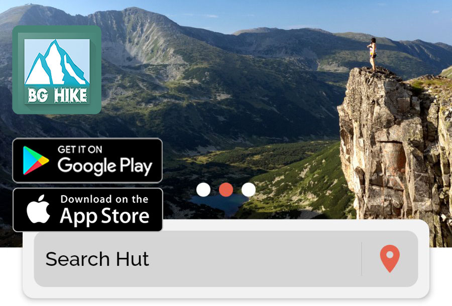
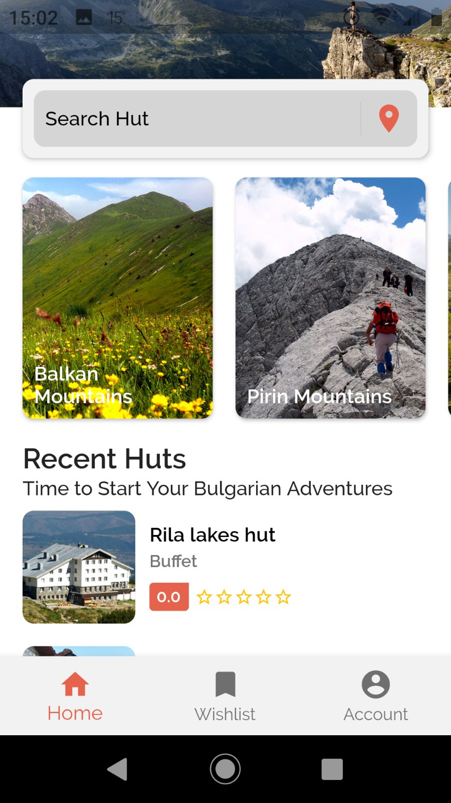
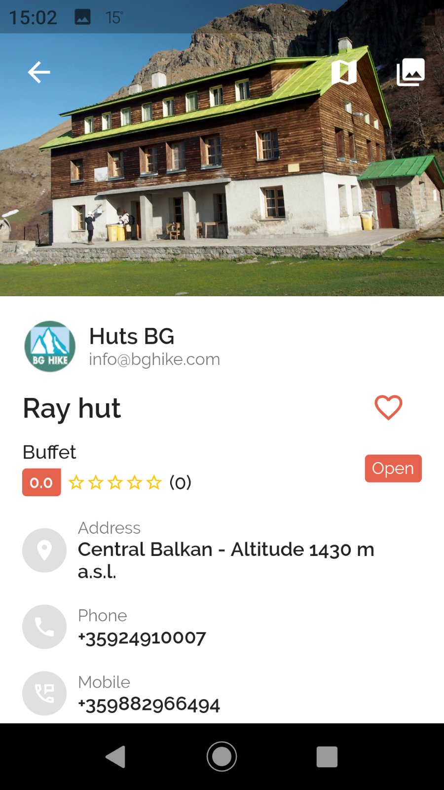
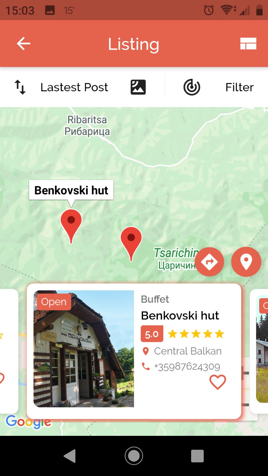
Download our new Mobile Application BG Huts
Detailed contacts and features of the most popular huts in the Bulgarian mountains - the Rila, the Pirin, the Rhodopes and the Balkans. Here you can find the contacts of the huts: phones, e-mails, web site addresses, social media addresses, working times, working periods, activities around them, positions on the map, also short descriptions of the huts, facilities, many pictures of the hut's buildings and the regions around the huts.
Screenshots :
 |
 |
 |
 |
Download for Android devices here:
 |
|
| Scan, download and install |
Download forApple iOS devices here:
 |
|
| Scan, download and install |
If you have some questions, please contact us at Diese E-Mail-Adresse ist vor Spambots geschützt! Zur Anzeige muss JavaScript eingeschaltet sein!
Bulgaria has a unique geographical location in the far Southeast corner of Europe on the Balkan Peninsula. The territory of the country is rather small only 111 000 square km but it is situated at the crossroads of three bio-geographic regions. They are the Middle European forest, the Eurasian steppe, and the Mediterranean. This location with the huge variety of different landscapes – the Black Sea coast, wide plains and steppes, rivers and lakes, valleys and forests, hills and mountains ensures a rich biodiversity. You can enjoy all four seasons, each one with its own character and color.